
Video Tutorials
Get started quickly with these overview videos:
Overview
Searching
Using Groups
Creating a Map
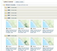
Creating a Gallery
Importing Data
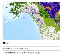
Importing NetCDF Data

Using the Swiper Tool

Using My Workspace

Commenting

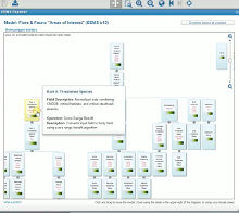
EEMS Explorer
Watch a recorded webinar for a more detailed presentation:
Guided Tour
Navigating the Data Basin Platform: A Guided Tour
Dr. Tosha Comendant, Senior Scientist at Conservation Biology Institute, gives an introductory tour to demonstrate multiple ways to explore and create content in Data Basin. Data Basin is an online mapping and analysis platform that supports learning, research, and sustainable environmental stewardship. The tour includes examples of keyword & geographic search functions, mapping, and collaborative tools. A 30 minute presentation is followed by 15 minutes of informal questions and discussion.
Uploading Data
How to upload data to Data Basin
Katie O'Connor leads a demonstration of how to upload datasets onto Data Basin, from start to finish. This includes shapefiles, rasters, and spreadsheets. The webinar will walk you through formatting the data, styling it, uploading to Data Basin, and adding it to a group or gallery.
Mapping and Analysis Tools
Using Premium Mapping and Analysis Tools in Data Basin
Brendan Ward (Lead Software Engineer/Conservation Biologist/GIS Analyst) and Kai Henifin provide an overview of Data Basin's advanced analytical tools. The demonstration includes examples showing selection by attribute, selection by intersection, filtering a layer by selection, exporting a selection to a drawing, exporting to a shapefile, buffering, and the project impacts calculator.
Powered by Data Basin
Powered by Data Basin: Supporting the LCCs with Spatial Data, Tools, and Social Networks
Dr. James Strittholt and Dr. Tosha Comendant from the Conservation Biology Institute (www.consbio.org) present an overview of the Data Basin platform. The presentation includes specific examples of Landscape Conservation Cooperatives (LCCs) in the Southeast US who are using Data Basin as their conservation data sharing and planning platform. The existing LCC sites are focused on giving casual GIS users (e.g., managers, biologists, coordinators, administrators, etc) better access to consistent and compatible spatial datasets and simple geoprocessing tools. Participants also discuss efforts at the National LCC level to connect data sharing and web-based tools with LC Map.