- SBC Atlas |
- About the Santa Barbara County Conservation Blueprint Atlas
About the Santa Barbara County Conservation Blueprint Atlas

The Santa Barbara County Conservation Blueprint Atlas (Atlas) is a online mapping portal where community members can view, retrieve, and analyze information about land use and natural resources in Santa Barbara County. The Atlas is designed to make science-based spatial data from many sources easily accessible.
The Atlas provides a platform to support in-depth conversations and informed decisions about the Santa Barbara County landscape.
On the Atlas you will find Guides and Case Studies, Galleries, Maps, and Datasets on the Santa Barbara County landscape. Data on the Atlas are broken up by the 5 themes:
- Water Resources
- Flora and Fauna
- Agriculture and Ranch Lands
- Community and the Land
- Climate
You can use some features of the Atlas without creating an account, but to benefit from the full functionality you will need to first create an account. To create an account you can simply click on the ‘Sign Up’ link at the top right of the page. As a user, you can create your own Maps, import your own Datasets, and create your own Galleries. You can save, edit, and share anything you create as part of your own account, and you control whether your maps and information are public, shared with only a few others, or private. You can also save any map you make as a .pdf or .ppt slide. Additionally, you can create a group with other users on the Atlas and on Data Basin to collaborate on specific topics, geographic areas, or projects. Visit our videos and webinars page here to see how to use the Atlas and to learn more about its functionality.
For more information about the Blueprint or see to the Blueprint report, please visit http://sbcblueprint.net/.
For comments and feedback please email info@sbcblueprint.net.
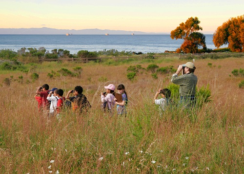
Photos on this page from Bruce Reitherman and the Land Trust for Santa Barbara County.