
Fire Portal
Explore related items…
Purpose and Description
Vision:
There are a multitude of agencies in SB County involved in fire management, and each has their own subset of relevant GIS data. They would all benefit from having the sum of all these data layers available to them, but this takes time to gather. The vision of this Fire Portal is to provide a data sharing hub, so people can share their data, view and interact with it and other people's data online, and download other data to their local systems.
Purpose
This portal aims to help meet this goal by fulfilling the above Vision and also gathering data that will be synthesized in a spatial decision support system (SDSS) for helping prioritize projects.
SDSS
The first spatial decision support system made was for the Regional Priority Planning Project (RPP), for helping prioritize where in the county to do fire mitigation projects. The methods of this first SDSS are described in A Spatial Decision Support System for Wildfire Risk Reduction in Santa Barbara County, California.
Data:
Under the "Explore related items..." section you'll find maps of a few data layers as well as Data Galleries of many data layers. All the maps and data sets should be available in each gallery:
- Data Organized by Category
- Data Gallery organized by Organization
There is also a gallery of all the maps provided as static maps on the RPP website, provided here as interactive maps.
Here on this page you will also find maps for
- Spatial decision Support System (with "EEMS" Models)
- Multiagency Fuel Treatments
- Fire Risk Model Outputs
- and more
Each of these maps has a variety of data layers you can interact with. When you open these maps please pay close attention to the data layers that you can click on in the left tab. Keep in mind that each of these maps has a small subset of data layers that are available for fire resources. The full list of data layers for this theme can be found within the Fire in Santa Barbara Gallery, which we welcome you to explore. We will continue to add layers to this gallery as we receive them.
History
This portal was developed in partnership with one of the Blueprint's Flagship Projects, the Cachuma Resource Conservation District's Regional Priority Plan (RPP) project. This was funded through the California Coastal Conservancy with the goal of fostering partnerships and projects to reduce wildfire risk and improve forest health in Santa Barbara County. In 2021, the Regional Wildfire Mitigation Program, funded by the National Wildlife Foundation, joined RPP in funding the maintenance of this portal.
Contact and Sharing Data
If you have data layers to share please reach out and let us know so we can add them to the data sets here. Or you can notify us to gain "uploading" status, and then upload data directly. If you’d like to provide interpretative information, please let us know as well. You can contact john.gallo@consbio.org or anyone else on any of the teams.
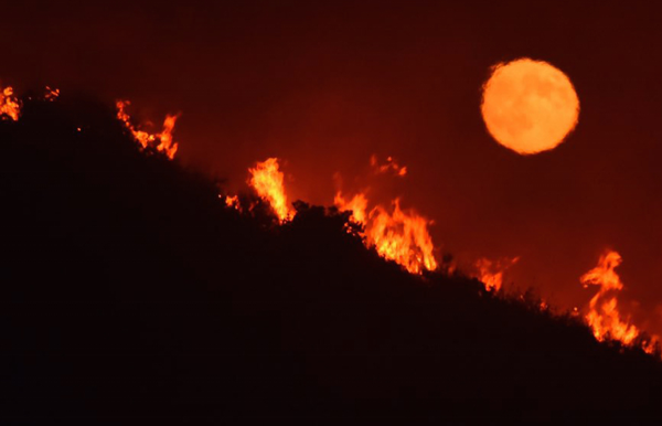
Photo Credit: Mike Eliason/Santa Barbara County Fire Dep
- Citation
- John Gallo. 2020. Fire Portal. In: Data Basin. [First published in Data Basin on Jul 9, 2020; Last Modified on Oct 1, 2025; Retrieved on Apr 4, 2026] <https://databasin.org/articles/52a6d858c8914d758e6bef95111ca482/>
About the Author
Dr. Gallo is an applied scientist with emphases in conservation GIS, decision support systems, and public participation in conservation planning and management, including citizen science. He started his career as an ecologist surveying for endangered species, developing habitat relationship models,...